Apple Maps in iOS 14 Warns Drivers of Speed and Red Light Cameras
Apple is adding multiple new features to the Maps app in iOS 14, including Apple Maps icons that will let users know when they're approaching speed cameras and red-light cameras along a route.
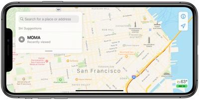
Little detail is given about the new camera warning icons, but Apple says that they will let users see where individual cameras are located on the map.
Maps lets you know when you're approaching speed cameras and red-light cameras along your route. You can also see where individual cameras are located on the map.
It's not clear if this feature will be limited to select areas, countries or will have a wide rollout, and it does not appear to be implemented in the initial iOS 14 beta as an examination of the Maps app with various routes did not display icons for traffic cameras.
Apple Maps is gaining cycling directions, electric vehicle routing, and a new Guides recommendation that will help you find the best places to visit when taking a trip to a new location. Many of these features have not been added to the initial iOS 14 beta.
Popular Stories
Apple Maps is getting a visual update in iOS 27, with Apple planning to introduce new aerial imagery that's combined with Visual Intelligence models.
Apple said everything will have sharper detail, from the "shapes of individual trees to the way light reflects off the glass of skyscrapers."
Flyover is an Apple Maps view that lets users see more than 350 cities in 3D with detailed...
iOS 27's key new feature is a more intelligent and personal version of Siri, but the changes go well beyond that. In a press release, Apple outlined additional enhancements coming across Apple Maps, Find My, Apple Wallet, Apple Music, and more.
Apple Maps has gained an enhanced Flyover experience powered by AI, enabling you to view aerial imagery in "stunning detail" for select cities.
In ...
Apple Maps is getting a range of new features in iOS 27, headlined by an upgraded Flyover experience that uses AI to improve the realism and detail of its aerial imagery.
Flyover is a longstanding feature of Apple Maps and lets users explore more than 350 cities in 3D with detailed landmarks, roads, parks, and buildings. Apple described the enhanced Flyover in iOS 27 as combining aerial...